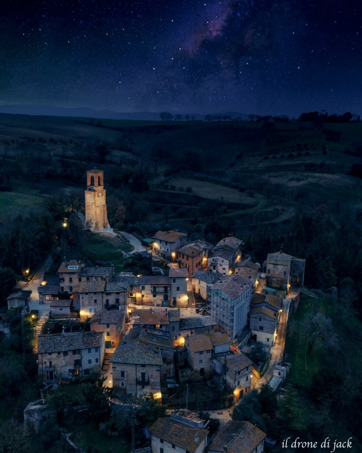
credit: Il Drone di Jack https://www.instagram.com/il_drone_di_jack/
This map shows the main points of interest in the historic Borgo, the Piazza and the cemetery
In the map you can see the ancient shape of the mediaeval castle can be seen from the air.
Outside of the borgo, you can see the ruins of the Parish Church of San Michele Arcangelo (12th century). number 7 on the map.
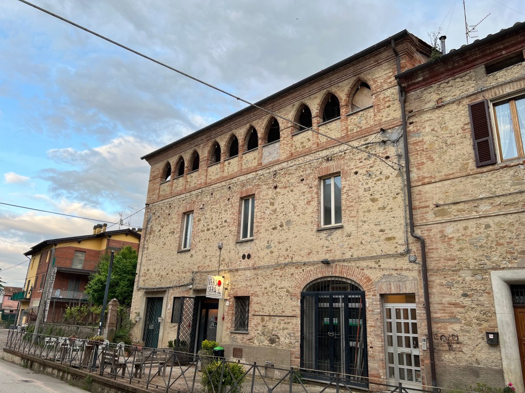
No longer visible is the church of S. Angelo, which is now a part of the new parish church (numbers 5 & 6 on the map)
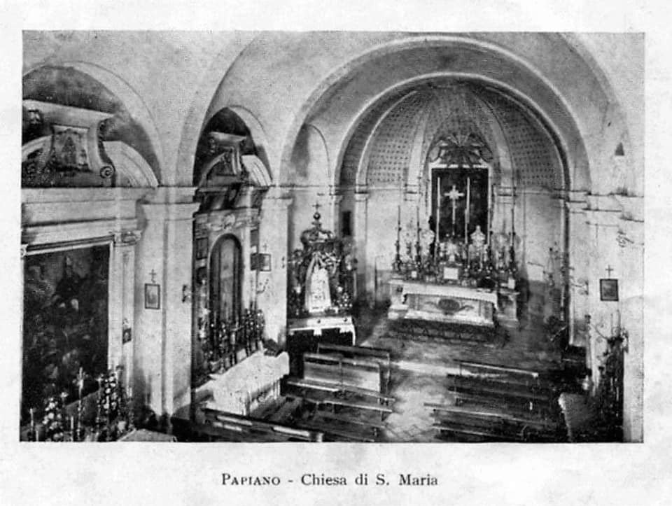

The current parish church, built in 1923, is a fine example of romanesque modern style

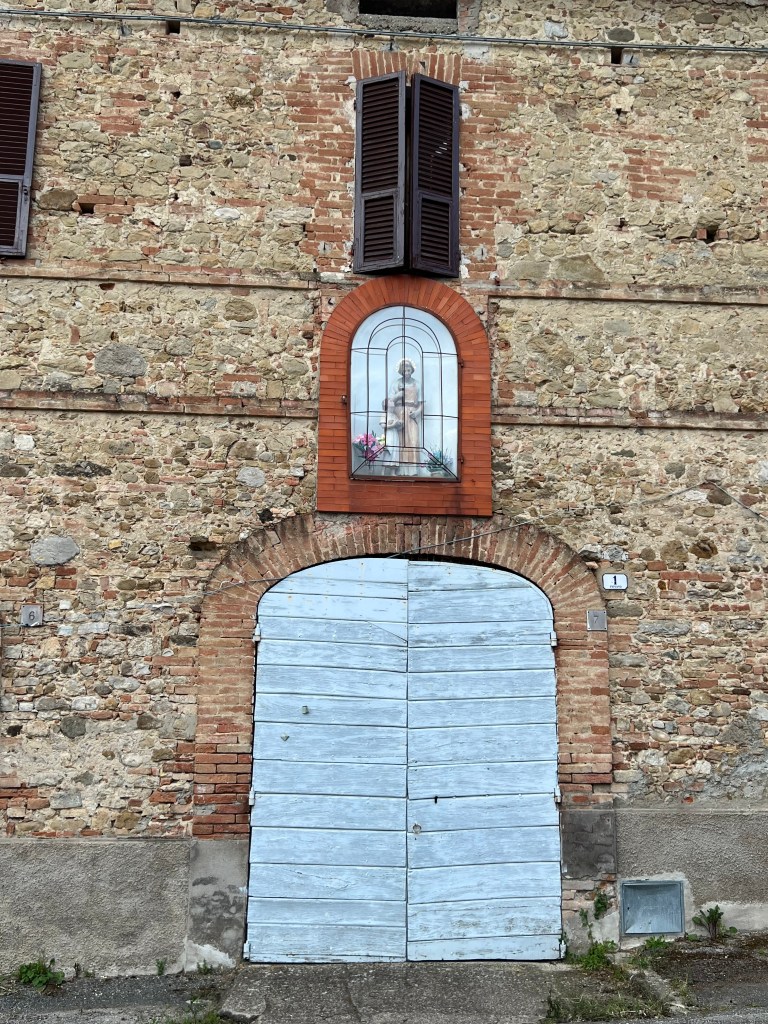
Number 5 – Chiesa Parrocchiale di S. Maria e S. Michele Arcangelo and (to the right) number 6 – part of the former church of S. Angelo,


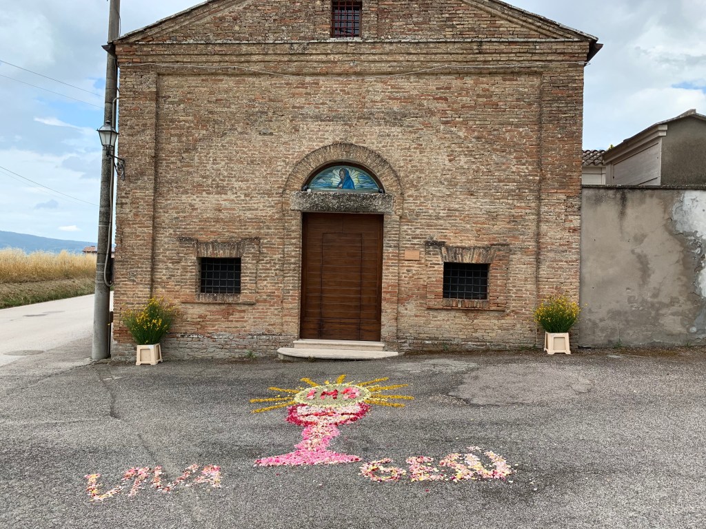
Further down towards Papiano Stazione you can find the cemetery with many interesting family vaults, and a small church (S. Maria in Piano) that is usually only open on festival days
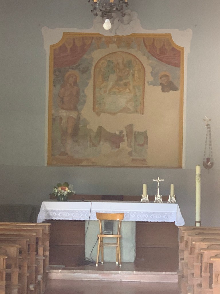
Finally in Papiano Stazione, opposite the station, there is the small chapel dedicated to S. Caterina, with two bombs outside. This is alas rarely open.

You must be logged in to post a comment.